Cherrybrook Precinct Rezoning Proposal
Creating a well-connected and walkable urban community in Cherrybrook.
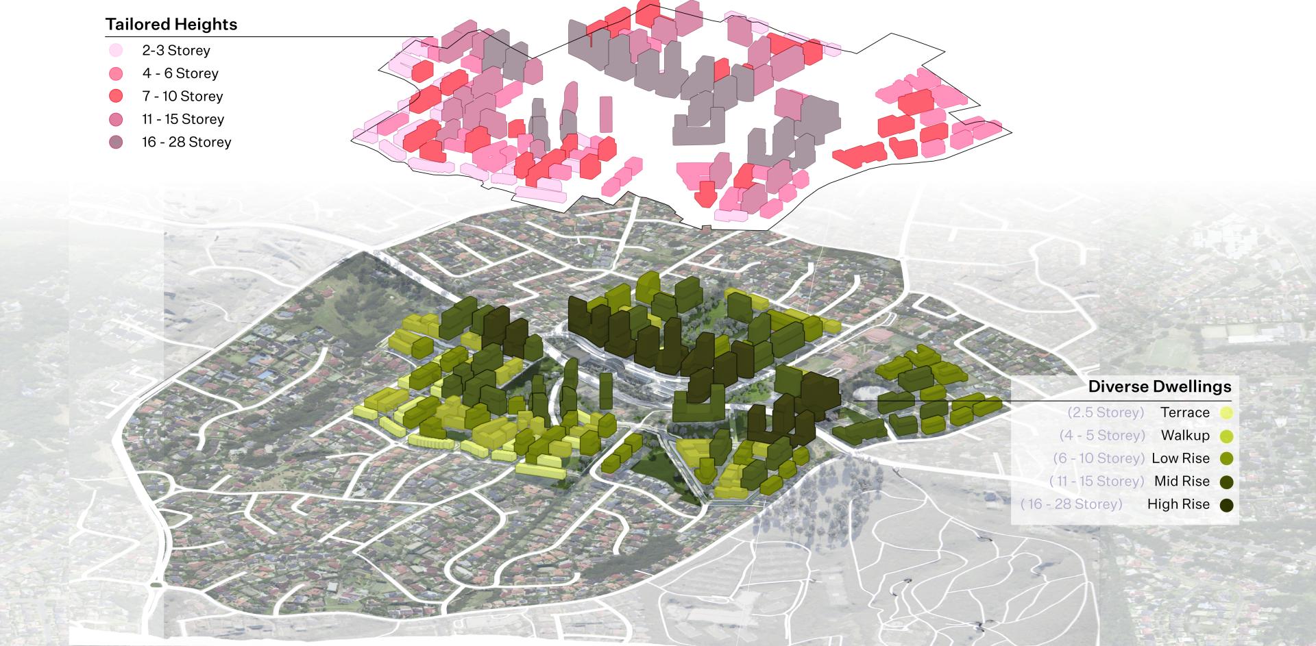
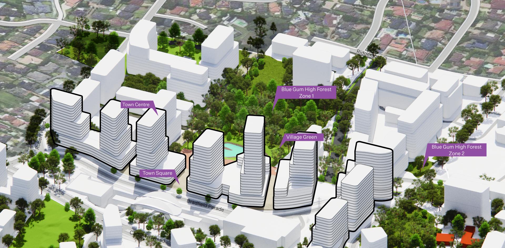
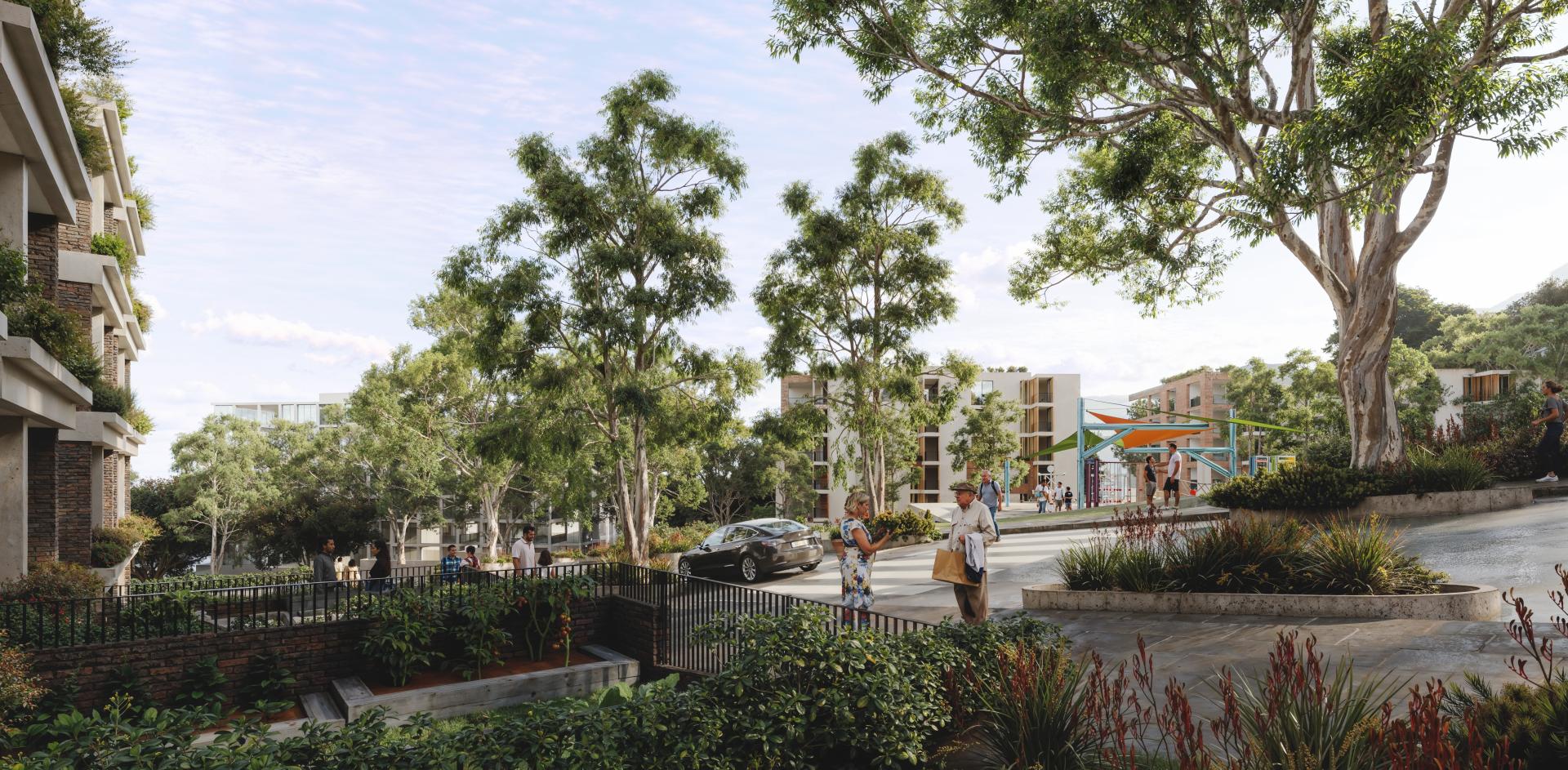
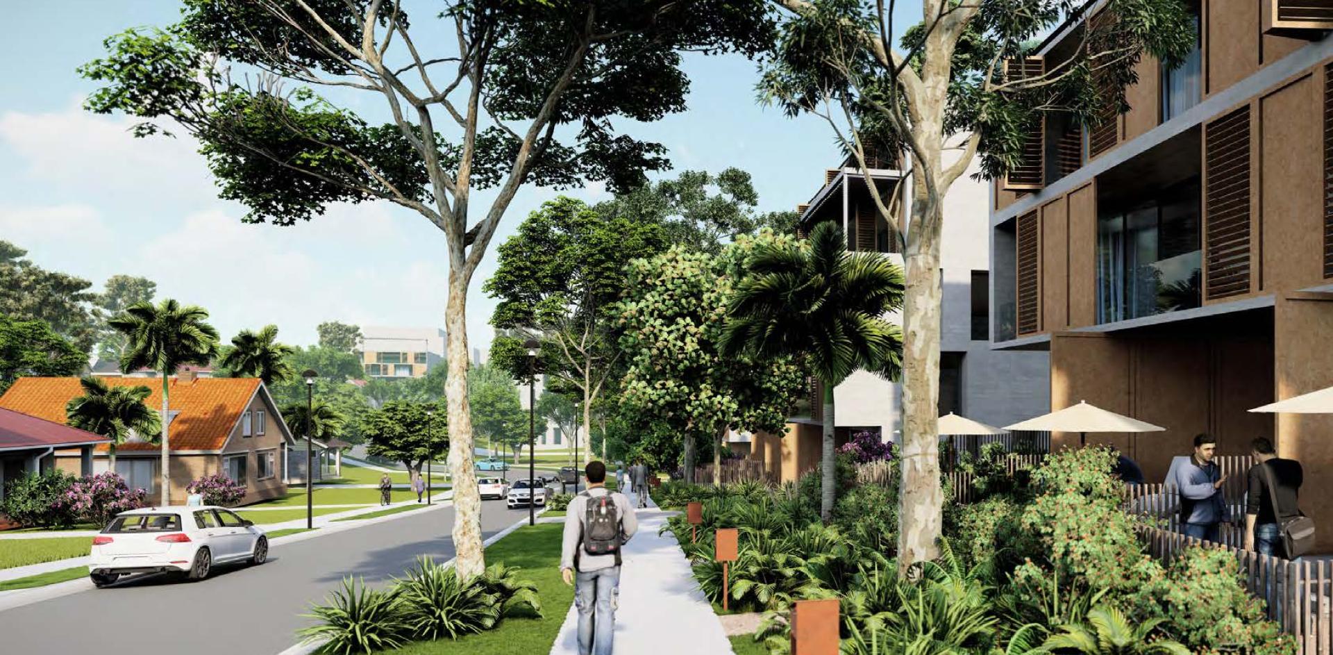
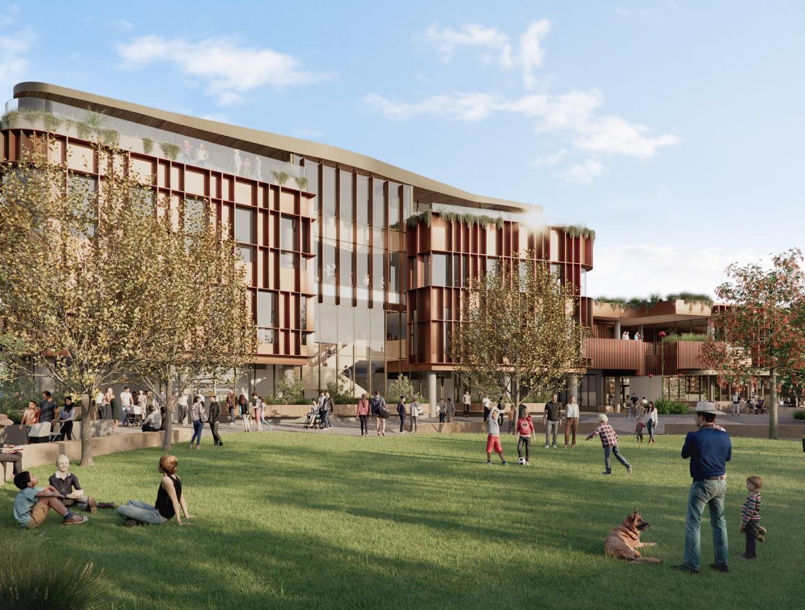
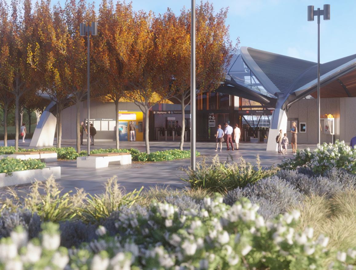
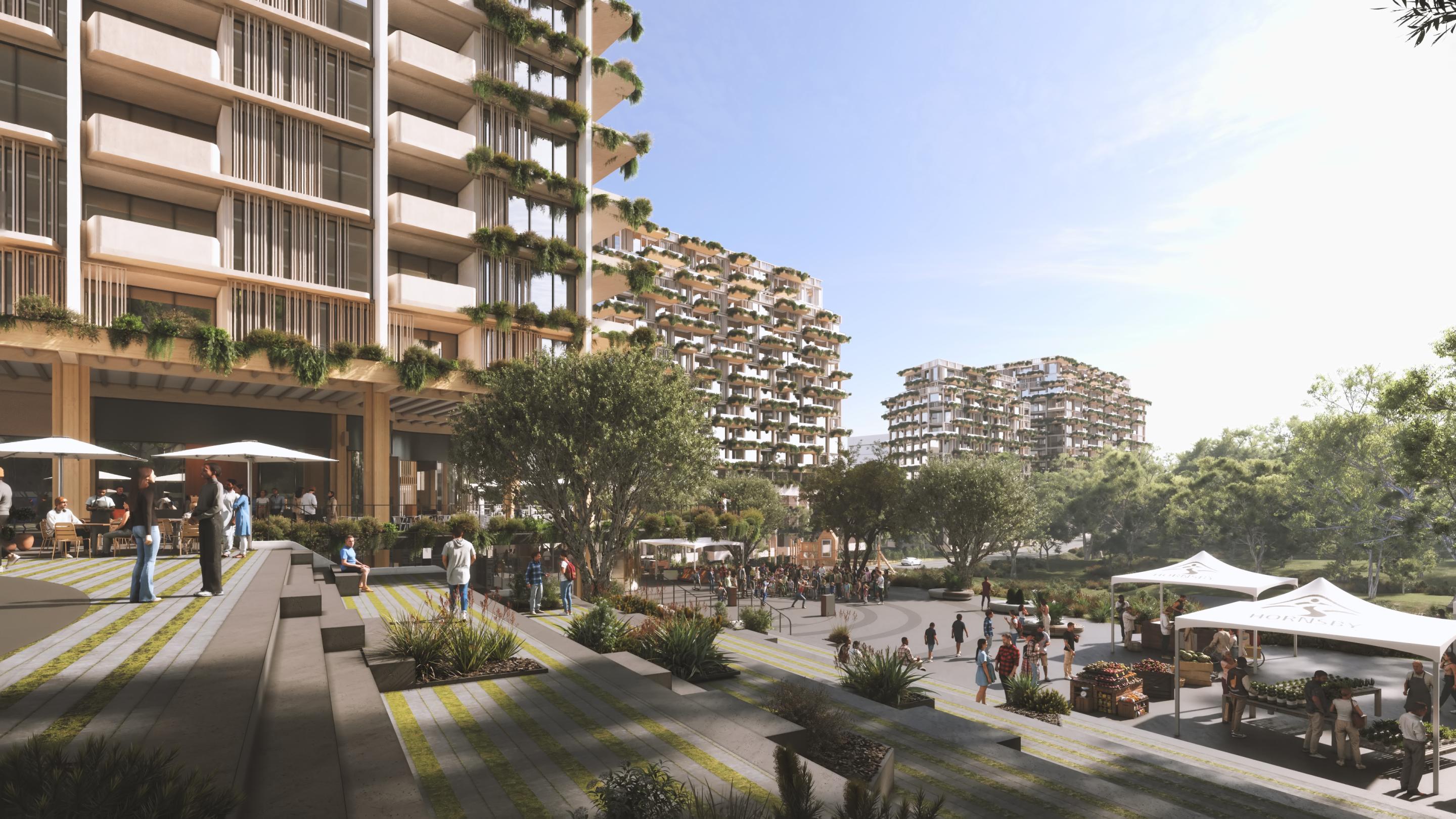
The Cherrybrook Precinct rezoning and masterplan proposal aims to transform 48 hectares around Cherrybrook metro station into a walkable connected community characterised by ‘green neighbourhoods’ with public parks and increased tree canopy coverage as well as a mix of affordable housing types. The masterplan includes five neighbourhoods providing much-needed housing in Sydney’s fast-growing north west region, and incorporates an accessible network of streets, lanes, pedestrian and cycle paths, and local parks.
The precinct masterplan and rezoning are projected to deliver:
- Approximately 5,200 new homes over the next 20 years, with a total development capacity for approximately 9,350 new homes
- 5% affordable rental housing in future housing development on private land across the precinct, and 10% affordable renting housing in the planned Cherrybrook town centre, all within walking distance of the metro station and local parks
- A total of 4.5 hectares of new public open space with preservation of Blue Gum High Forest areas and an overall increase in tree canopy cover.
The APP Group’s Planning Team, in partnership with Warren and Mahoney Architects and a team of technical consultants, are excited to be playing a leading role in progressing the precinct masterplanning and rezoning to transform the Cherrybrook metro station precinct into a sustainable, transit-oriented centre and connected community precinct.
The APP Group is providing expert planning advice on the precinct masterplanning and the technical documentation required to support it, and has prepared a Planning Report and Draft Design Guide. The APP Planning Report outlines the planning background, the strategic merit of the proposal and environmental assessment of the precinct plan, and outlines the intended amendments to planning instruments, including new land use zonings and development standards, to facilitate the delivery of the masterplan. The Draft Design Guide provides guidelines for future development across the precinct including on the public domain, access network, built form, streetscapes, landscaping, and heritage and environmental considerations.
Key challenges in the precinct planning include balancing the achievement of a landscape character of Blue Gum High Forest with a density and diversity in housing types suitable for transit oriented development, dealing with the key constraint of the metro rail line and main road creating an urban barrier through the precinct, a steep topography on parts of the precinct, and addressing a transition at the interface of the precinct with surrounding low density residential zones.
Other challenges in drafting of planning instruments and design guidelines for future development have included the added complexity of two Council areas (The Hills Shire Council and Hornsby Shire Council) each with their own planning controls, fragmented land ownership, and developing planning controls that incentivise delivery of affordable housing and other beneficial planning outcomes.
Image Credits: Warren and Mahoney Architects